Hong Kong is set to log its wettest July in almost three decades, with rain expected to keep drenching the city into next month as low-pressure systems remain active nearby.
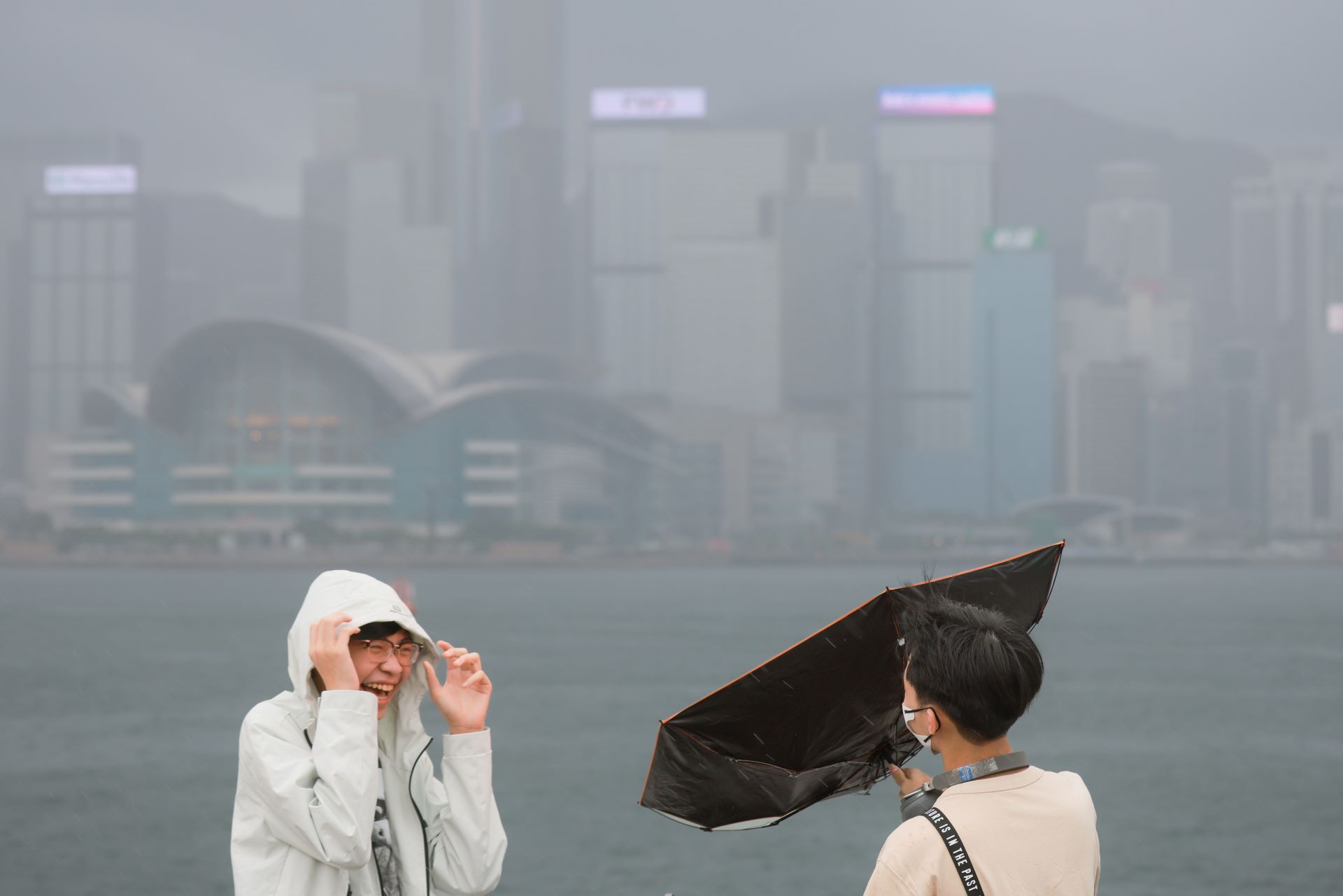
The financial hub received 719.4 millimeters of rainfall as of July 30, according to the Hong Kong Observatory, with the tally set to climb higher after a downpour on the final day of the month.
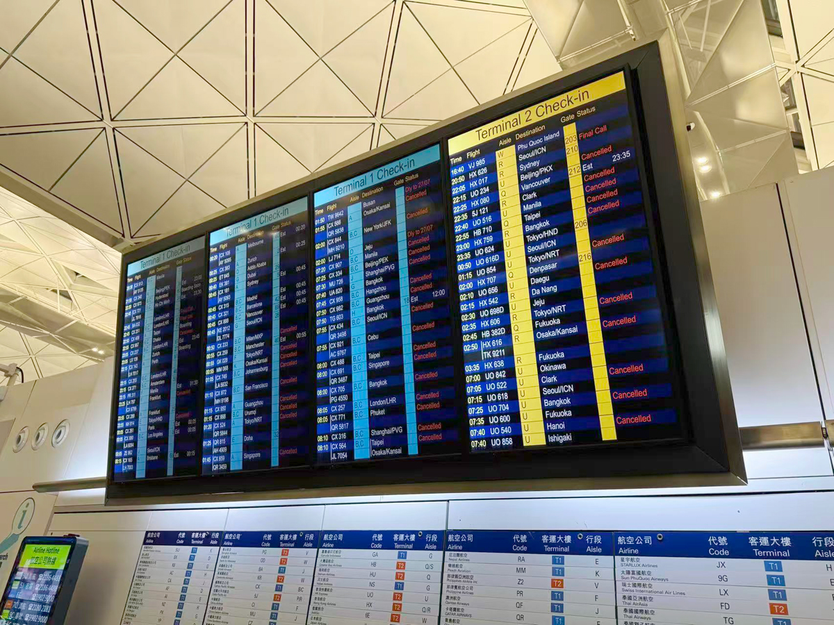
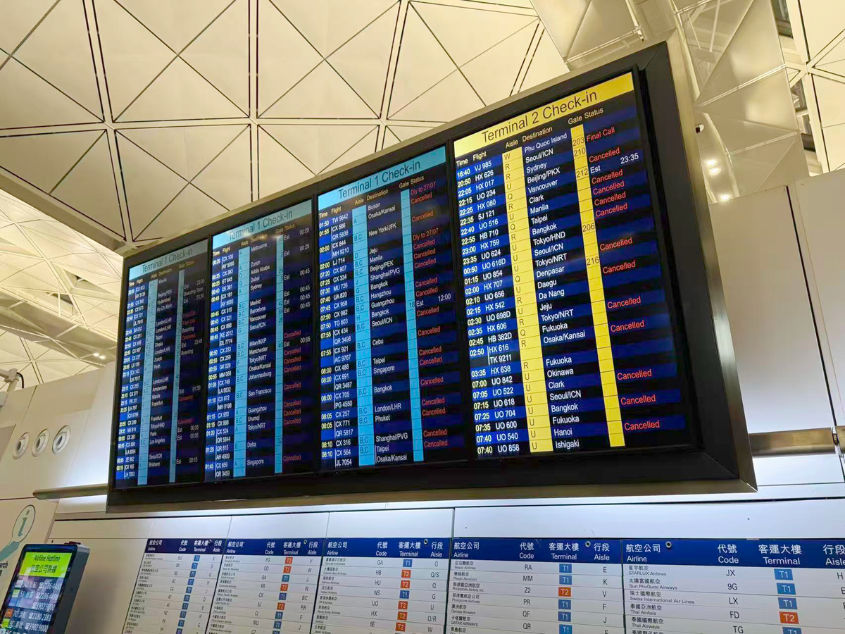
Beyond heavy rain linked to the outer bands of Typhoon Noul that disrupted flights, showers have been steady during the month without any powerful bursts known as black rain.
Hong Kong’s wettest period is typically June through August due to the summer monsoon and tropical cyclones that roll in from the western Pacific Ocean, and this month’s rainfall has been 82 percent higher than average.
Numerous low-pressure systems, including broad troughs and tropical cyclones Maysak and Noul, led to the downpours in July, said Yu-ting Kwok, scientific officer at HKO.
Mesoscale convective systems — clusters of organized thunderstorms that dump rainfall over large areas and extended periods of time — were also responsible for the abnormally wet month, said Xiaoming Shi, professor of atmospheric science at the Hong Kong University of Science and Technology.
RELATED ARTICLES
The last time Hong Kong saw a wetter July was in 1997, when the city returned to the motherland. That year, rainfall totaled 746 mm. This month is poised to be at least the 6th wettest July since records began in 1884. Official data compiled by the weather agency is derived from a weather station at the HKO headquarters at Tsim Sha Tsui in Kowloon.
On Polymarket, punters have been wagering on July’s total, with over $51,000 bet on the outcome. Just two weeks ago, the market was largely leaning toward less than 400 mm of precipitation, but continuing showers stifled that outlook, with more than 600 mm taking the lead early last week.
The steady drumbeat of rain is expected to continue through at least the coming week, forecasts from the HKO and the China Meteorological Administration show. The US Climate Prediction Center also predicts above-normal precipitation in and around Hong Kong through the second week of August.
Last August, Hong Kong was soaked by a number of heavy deluges, breaking daily records for the month and leading to a number of black rain warnings being issued by the HKO. That alert is triggered when very heavy rain exceeds 70 mm in an hour and is likely to continue, leading to flooding.
“Monthly rainfall is not necessarily a flood risk on its own — what matters is how that rainfall is distributed within 24 hours,” said Entela Benz, chief executive officer of Hong Kong-based extreme-weather risk intelligence firm Intensel.
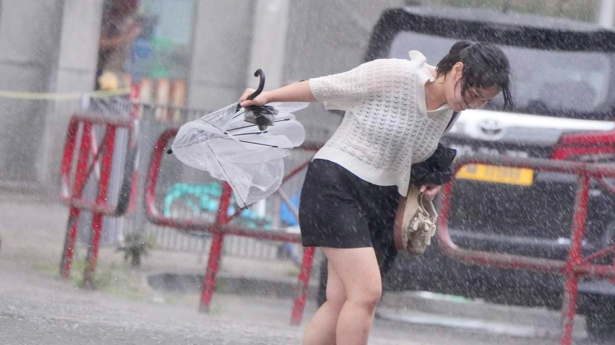
“The real driver of flooding is hourly rainfall intensity,” which has increased in frequency and severity since the early 2000s.
Extreme rainfall is a growing threat to coastal cities such as Hong Kong, as rising global temperatures boost the amount of moisture in the air. Climate change is making weather more volatile, raising the risk to crops, supply chains, and infrastructure.
“As the climate continues to warm, Hong Kong can expect more intense downpours and a greater risk of rainfall records being broken,” said Benjamin Horton, chair professor of earth science at the City University of Hong Kong.