Katrina tracked over parts of southeastern Louisiana and southern Mississippi that largely lie below 10 metres in elevation, with vast swaths of coastline just above sea level.
This low-lying elevation, which extends several kilometres inland in many spots, contributed to the severity of the hurricane’s storm surge flooding. The concave shape of the coast, as well as local bays and inlets, also exacerbated the surge.

Southern Mississippi took the brunt of the surge, where the flooding reached 5.0 to 8.5 metres above ground level. The deepest surge occurred along the coast in Pass Christian, Mississippi, where experts measured a maximum water depth of 8.47 metres above ground level.
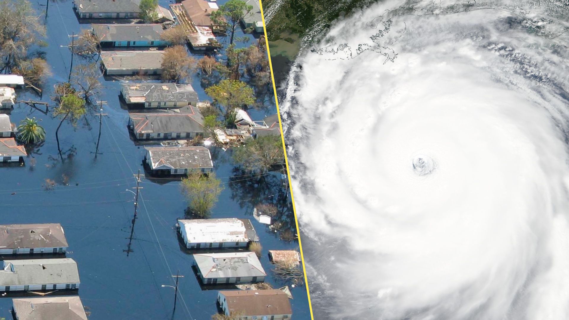
New Orleans devastated by the storm surge
The majority of Katrina’s fatalities occurred in New Orleans, which sits several metres below sea level. Sunken like a bowl between Lake Pontchartrain to the north and the Mississippi River to the south, the city relies on an intricate network of levees and pumps to keep water out.

Katrina’s powerful winds pushed 4 to 5 metres of storm surge into Lake Pontchartrain and the Mississippi River, overtopping many of the levees protecting the city.
Water sloshing over the levees eroded the soil behind these protective earthen structures and caused many of them to fail, allowing floodwaters to surge through the broken levees into the low-lying city.

