

1/22
Massive winter storm slams N.J. with heavy snow, treacherous ice
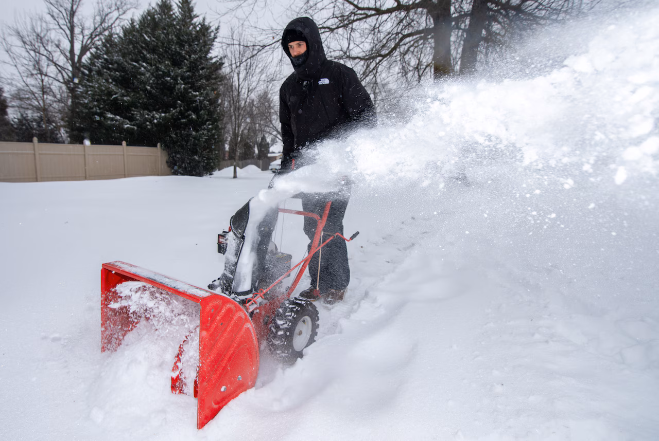
A major winter storm is piling up heavy snow across New Jersey, with accumulations ranging from 4 inches to 11 inches as of Sunday afternoon.
Bridgewater in Somerset County recorded the highest snowfall total in the state at 11 inches as of 2:30 p.m.
Multiple northern and central New Jersey towns also had totals nearing 10 inches of snow, according to National Weather Service reports.
Snowfall rates near 1 to 2 inches per hour are expected during the day with the highest snowfall totals of 12 to 18 inches expected in northern counties.

A transition to a wintry mix of sleet and freezing rain has been ongoing this afternoon. That could cause a dangerous layer of ice on top of the snow.
Hundreds of New Jersey districts have already started calling for school closures and delayed openings for Monday.
Town-by-town snowfall reports
(as of 2:30 p.m)
Atlantic County
- Buena Vista Township – 6.7 inches
- Hammonton – 6 inches
- Atlantic City International Airport – 5.9 inches
Bergen County
- Leonia – 9.2 inches
- Cliffside Park – 9 inches
- River Vale – 9 inches
- Franklin Lakes – 7.6 inches
- River Edge – 7.5 inches
- Fair Lawn – 7.3 inches
- Ridgefield – 6.5 inches
- Fair Lawn – 5.5 inches
- Wallington – 5.4 inches
Burlington County
- Delran – 7 inches
- South Jersey Regional Airport – 6.6 inches
- Mount Holly WFO – 6.6 inches
- Tabernacle – 6.5 inches
- Rancocas – 6.3 inches
- Leisuretowne – 4.7 inches
- Fort Dix – 4.5 inches
Camden County
- Mount Ephraim – 7 inches
- Lindenwold – 5.8 inches
- Cherry Hill – 5 inches
- Haddon Township – 4.7 inches
Cape May County
- Ocean City – 6 inches
- Cape May – 5 inches
Essex County
- North Caldwell – 9.4 inches
- Newark – 9 inches
- Bloomfield – 8 inches
- North Caldwell – 8 inches
- Millburn – 6.8 inches
- Montclair – 6.5 inches
Gloucester County
- Pitman – 7 inches
- Malaga – 7 inches
- Woodbury – 4.5 inches
Hudson County
- Jersey City – 7.1 inches
- Harrison – 6 inches
- Hoboken – 5.1 inches
Hunterdon County
Mercer County
- Trenton Mercer Airport – 7.2 inches
Middlesex County
- Browntown – 8.3 inches
- Edison – 7.5 inches
- South River – 7 inches
- East Brunswick – 6 inches
Monmouth County
- Keyport – 9 inches
- Tinton Falls – 8.1 inches
- Long Branch – 7 inches
- Howell – 6.4 inches
Morris County
- Mount Arlington – 9.5 inches
- Boonton Township – 9 inches
- Parsippany – 6.5 inches
- Mendham – 5.8 inches
- Budd Lake – 5.2 inches
Ocean County
- Bayville – 8 inches
- Toms River – 6.4 inches
- Brick – 6 inches
- Forked River – 6 inches
- Little Egg Harbor Township – 5 inches
Passaic County
- Pompton Lakes – 9.5 inches
- Wayne – 8.2 inches
- Passaic – 6.5 inches
Somerset County
- Bridgewater – 11 inches
- Hillsborough Township – 8.5 inches
- Middlebush – 7.5 inches
- Somerville – 7.5 inches
- Lyons – 6.9 inches
Sussex County
- Sparta – 9.6 inches
- Hopatcong – 8.3 inches
- Wantage Township – 6 inches
Union County
- Newark Airport – 8 inches
- Westfield – 7.7 inches
- Union – 7.5 inches
- Elizabeth – 5.2 inches
Warren County
- Blairstown – 7.2 inches
- Washington – 7 inches
- Washington – 6.5 inches
Current weather radar