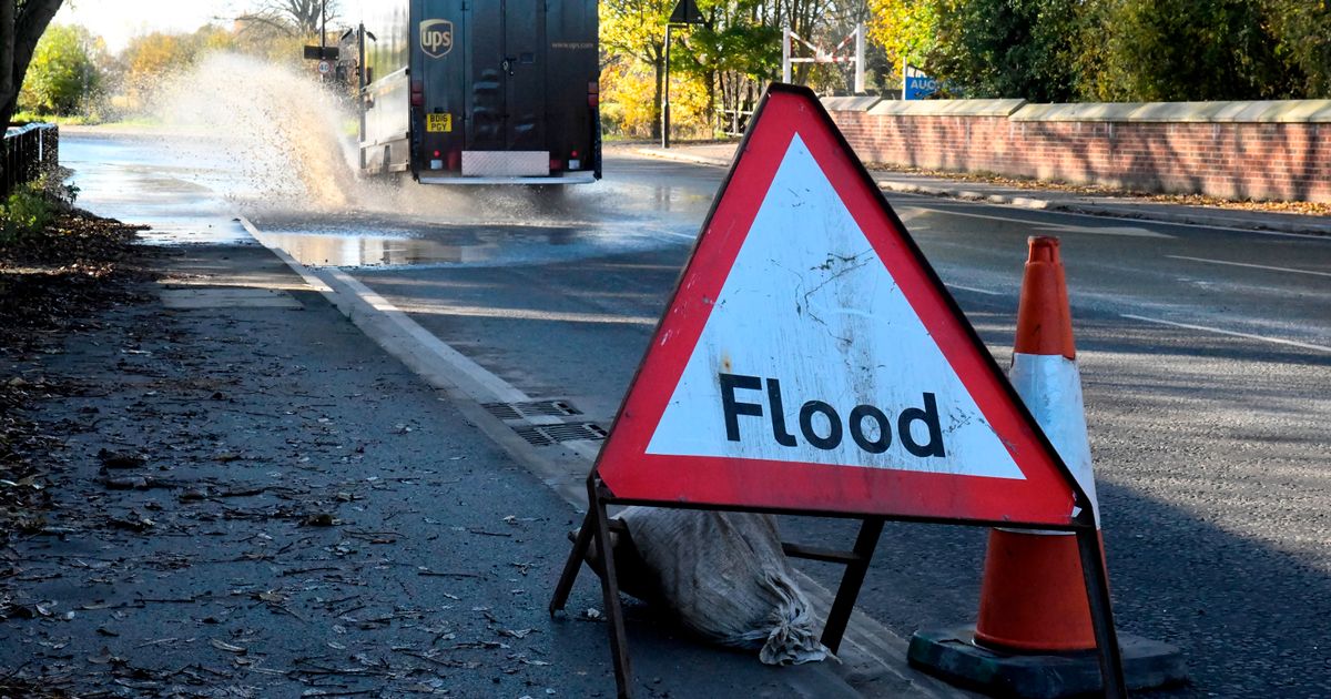
The Government has warned “do not” attempt to walk or drive through flood water
Eight flood warnings and 55 flood alerts have been issued across the UK as heavy rain makes local flooding “probable”.
According to the Government, when a flood warning is triggered, it signifies that flooding is “expected”, whereas a flood alert means that flooding is “possible”.
On the Gov.uk website, the flood forecast for the next five days warns of “probable” local flooding in Cumbria on Tuesday.
The flood forecast reads: “Local flooding is probable from rivers and surface water on Tuesday across Cumbria and Tuesday and into Wednesday in the South West of England. Local flooding is possible more broadly across parts of England on Tuesday and Wednesday.
“Local flooding is expected from the coast on Wednesday across parts of the Southwest of England. Local flooding is possible more widely along the coast of England on Wednesday and Thursday.
Join the Manchester Evening News WhatsApp group HERE
“Land, roads and some properties may flood and there may be travel disruption.”
The closest flood alert to Greater Manchester is the Mersey Estuary at Warrington. The Government has warned that “high tides” on Tuesday, November 2, may lead to flooding.
Flooding is possible from 11pm on Tuesday at Fiddlers Ferry, Eastford Road, and Arpley Bridge.
The flood alert in Warrington reads: “Locations most affected will be low lying land and roads near rivers or on the coast. It is possible that river levels may affect Arpley Road under the railway bridge.
“We are expecting higher than normal tides over the next 4 days and as a result we may issue further alerts/warnings. We are liasing with emergency services and local authorities.
“We are closely monitoring the situation and our incident rooms are open. Avoid using low lying footpaths and any bridges near local watercourses and do not attempt to walk or drive through flood water.”
Areas affected by flood warnings
- Keswick Campsite
- River Cocker at Southwaite Bridge
- River Crake Valley
- River Eden at Carlisle, Rickerby Park, Swifts and Stoneyholme Golf Courses
- River Eden at Warwick Holmes
- River Ehen at Egremont, Bleach Green, Ennerdale Mill, Bridge End, Vale View, Wood Bank, Rugby Club
- River Greta at Keswick, Keswick Campsite, Rugby Club and Quinta
- Rivers Cocker and Derwent at Cockermouth, Cricket Ground, Trout Hotel Car Park, Hatters Croft
Areas affected by flood alerts
- Beaulieu estuary
- Christchurch Harbour
- Climping Seafront
- Coast at North Morecambe Bay
- Dorset coast at Poole Harbour
- East coast of Dorset
- Isle of Wight coast
- Langstone to Emsworth Harbour
- Lower Dove
- Lower Dove Brooks and Egginton Brook in Derbyshire
- Lower River Eden
- Lower River Lune and Conder
- Mansbridge and Riverside Park
- Mersey Estuary at Warrington
- Middle River Eden
- North Sea coast at Withernsea, Easington and Kilnsea
- North Sea coast from Staithes to Whitby including tidal River Esk
- Plymouth Sound, Wembury Bay and tidal estuaries
- River Hamps and River Manifold
- River Rede
- Rivers Brathay, Rothay and Winster
- Rivers Caldew and Petteril
- Rivers Cocker, Marron and Derwent
- Rivers Duddon, Crake and Mill Beck
- Rivers Ehen, Calder, Irt and Esk
- Rivers Esk and Irthing
- Rivers Greta, St Johns Beck and Bassenthwaite Lake
- Rivers Kent and Bela
- Rivers Lowther and Eamont
- Rivers Wampool and Ellen
- River Wye in Herefordshire
- Severn Vyrnwy confluence
- Southampton Water and Hamble
- South Cornwall coast from Gribbin Head to Rame Head
- South Cornwall Coast from Lands End to Lizard Point
- South Cornwall coast from Lizard Point to Gribbin Head excluding the Tidal Fal Estuary
- South Devon coast from Start Point to Dawlish Warren
- South Devon Estuaries
- Stone Trent
- The Essex coast from Clacton to and including, St Peters Flat and the Colne and Blackwater estuaries
- The north Norfolk coast from East Cley to Kelling Hard, including Salthouse
- The north Norfolk coast from Old Hunstanton, to and including Cley
- The tidal Rivers Bure, Ant and Thurne
- Thorney Island to West Itchenor
- Tidal areas of Littlehampton Rope Walk
- Tidal Fal Estuary
- Tyne estuary
- Upper Dove
- Upper River Derwent, Stonethwaite Beck and Derwent Water
- Upper River Eden
- Upper River Lune
- West Bay Harbour
- West coast of Dorset
- Weymouth Harbour
- Wyre estuary from Fleetwood and Knott End to Little Eccleston

