The news has undoubtedly spread about next week’s historic and unprecedented heat wave in California. Temperature records will be shattered all across the state next week.
But if you searched for San Francisco’s temperature forecast for Monday and Tuesday of next week, right when some of the warmest temperatures are expected to peak in the Bay Area, you’d be forgiven if you felt like this heat wave was exaggerated.
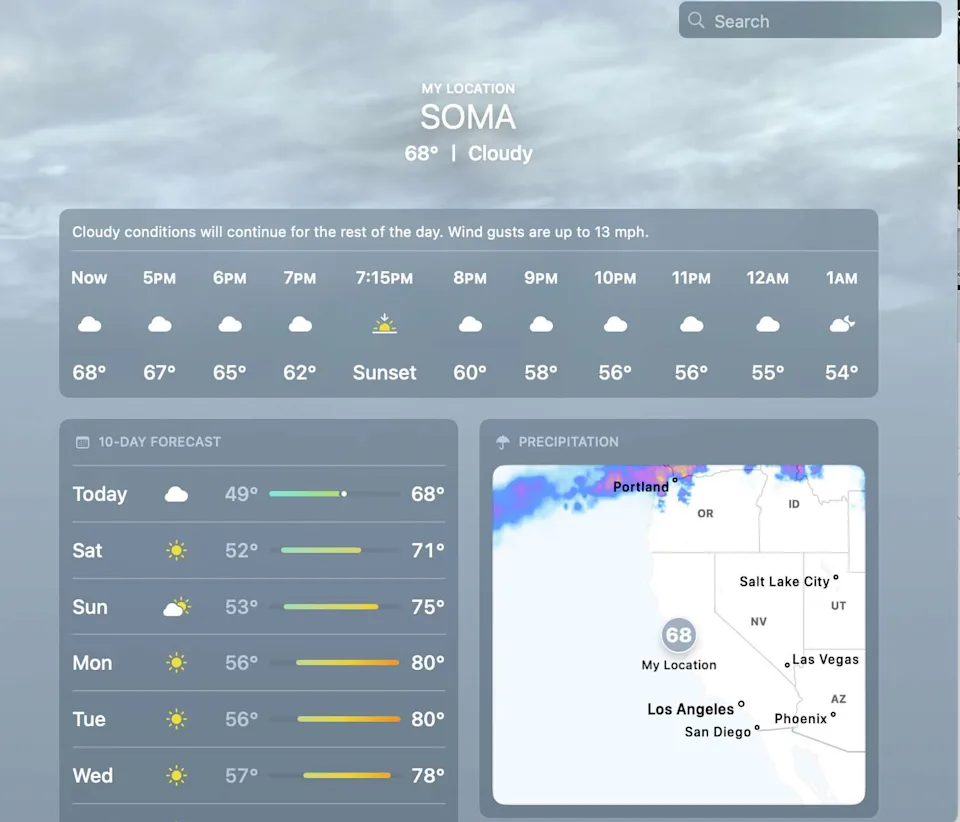
According to Google, next week looks like a lovely stretch of early spring time weather for the city. Apple weather shows warmer temperatures, but still nothing eyebrow raising.
Both forecasts are a stark contrast to what the language from the National Weather Service. On Friday afternoon, the agency’s official forecast discussion noted that next week “an unusually strong ridge is bringing us late summer-like weather. …This has the potential to break numerous daily high temperature records and even some all time high temperature records for March.”

Apple weather has a better temperature forecast for the city early next week, but is still several degrees below what official forecasts are showing. (Apple)
The Chronicle’s official forecast aligns with what the weather service is saying. We are calling for temperatures to rise into the mid-80s on both Monday and Tuesday, with an outside chance of some parts of the city approaching 90 degrees.
So what gives? Why are our phones so off?
We’ve covered peculiarities such as the marine layer and terrain differences that weather apps routinely miss in the notoriously tricky weather patterns of the Bay Area. The short explanation is that most weather apps use automated global forecast models that have a coarser resolution and are inclined to miss the microclimate tendencies of the region.
This is especially the case a few days out – as we are now, from the worst of the heat. Monday and Tuesday are respectively between 80 to 100 hours into the future (from Friday evening). That puts the days out of the time range of higher resolution weather models.
This is where a meteorologist comes into the equation.
It’s a rather simple formula for a very hot day in San Francisco. You need an offshore wind direction at about 2 to 3 thousand feet above sea level, lots of sunshine and a warm upper level temperature. All of these things work to squish the marine layer and wipe out the cooling sea breeze that typically develops in the afternoon.

The National Weather Service has a much different take on how hot it will get in the Bay Area and San Francisco next week. (NOAA)
All three should be in place on Monday and Tuesday and as such, the ingredients call for temperatures to push well into the 80s in the city.
But meteorologists are used to being burned by a forecast. It comes with the territory, especially in a place as unique as San Francisco.
It’s not beyond reason to expect a sea breeze intrusion on Monday or Tuesday to spoil the forecast and keep the city cooler. The large-scale pattern setup leads us to believe this won’t happen, but atmospheric features like a sea breeze are fickle things, with their anticipated behavior best captured by the high resolution weather models.
The outcomes from those models will start to apply to the Monday/Tuesday timeframe later on Friday night. That should sharpen the forecast outcomes and the weather apps should bring their temperature forecasts more in line with ours.
This article originally published at Why your phone’s weather app is probably wrong about San Francisco’s heat wave forecast.