Published on
July 16, 2026
By: Antara Mitra

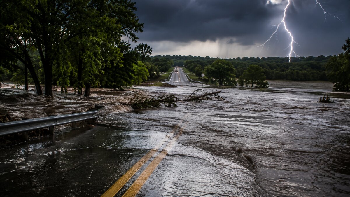
Image generated with Ai
A catastrophic flash flood emergency across south-central Texas is creating a serious landside travel crisis for Hill Country visitors. Austin, San Antonio, Dallas–Fort Worth and Houston airports have continued operating with limited system delays, but flooding across highways, streets, underpasses, low-water crossings and rural access roads could prevent travellers from safely completing airport transfers, rental-car journeys, resort arrivals and self-drive itineraries. The most immediate risks concern Kerrville, Hunt, Uvalde, Bandera County, the western Hill Country and the US 90 corridor west of San Antonio.
Texas Flash Flood Emergency Moves the Travel Risk Beyond Airport Terminals
The disruption facing the Texas travel sector is no longer limited to the possibility of delayed flights. The more complex risk has developed beyond airport boundaries, where travellers must depend on roads, rental cars, hotel shuttles, private transfers, tour coaches and destination management companies to reach accommodation across the Hill Country.
The National Weather Service issued a Flash Flood Emergency for Hunt and Kerrville at 3am Central Daylight Time on 16 July. Between three and six inches of rain had already fallen, while rainfall rates of two to four inches per hour were expected to continue. Emergency management authorities had reported evacuations, increasing water rescues, water entering buildings and anticipated rises along the Guadalupe River. The warning classified the expected damage as catastrophic.
The warning covered hazards affecting highways, streets, underpasses, creeks, streams and low-water crossings. Travel was discouraged unless people were leaving an area affected by flooding or complying with an evacuation order. Kerrville, Ingram, Hunt, Kerrville-Schreiner Park and Waltonia were among the locations identified within the emergency area.
Advertisement
Advertisement
This creates a critical distinction for travel companies. A flight may arrive normally, baggage may be delivered and the rental-car counter may remain open, yet the traveller could still be unable to reach a booked resort, holiday rental, campground or rural attraction.
Catastrophic Rainfall Threatens Hill Country Transfers and Self-Drive Routes
The National Weather Service maintained a Flood Watch across parts of the Hill Country, the Interstate 35 corridor, the southern Edwards Plateau and the Rio Grande Plains through Thursday evening, 16 July. The official outlook placed sections of the US 90 corridor west of San Antonio, the southern Edwards Plateau, the Rio Grande region and the western Hill Country under the highest rainfall-risk category.
Advertisement
Advertisement
Considerable to locally catastrophic impacts were considered likely. Additional rainfall of two to six inches was possible across the wider watch area, with isolated totals of ten to fifteen inches possible in the most exposed regions. The forecast also identified the possibility of extensive street flooding, rising rivers, overflowing streams and inundated low-water crossings.
Official Flood Conditions and Travel Implications
| Area or official warning zone | Confirmed rainfall information | Official hazard level | Immediate travel-sector implication |
|---|---|---|---|
| Hunt and Kerrville | Three to six inches recorded, with rainfall rates of two to four inches per hour | Catastrophic flash flood emergency | Airport transfers, resort access, rural accommodation arrivals and local excursions may become impossible or unsafe |
| Uvalde County | Six to sixteen inches recorded, with another two to four inches possible | Life-threatening, considerable flash flooding | Self-drive routes towards Uvalde, Concan, Utopia and Garner State Park face severe interruption risk |
| Western Bandera, north-western Kerr and south-eastern Real counties | Three to twelve inches recorded over two days, with up to four additional inches possible | Considerable flash flooding | Rural roads, low-water crossings and scenic Hill Country itineraries may become blocked with little notice |
| Southern Edwards Plateau, Rio Grande Plains and western Hill Country | Two to six additional inches widely, with isolated totals of ten to fifteen inches | Highest rainfall-risk category in selected areas | Multi-stop road tours, private transfers and remote property access require suspension or rerouting |
| Wider Interstate 35 and south-central Texas watch area | Repeated thunderstorms and excessive runoff remain possible | Flood Watch through Thursday evening | Urban transfers may remain operational while suburban and rural onward journeys deteriorate |
The table is based on National Weather Service warnings and forecasts available during the early hours of 16 July 2026. Conditions can change rapidly as water moves downstream after rainfall has ended.
Advertisement
Advertisement
Uvalde, Concan and Garner State Park Face Serious Access Risk
Uvalde County represents one of the clearest examples of why flight status alone cannot determine whether a journey remains viable.
Emergency management information incorporated into the National Weather Service warning showed that between six and sixteen inches of rain had fallen across the county by early 16 July. Flash flooding was already occurring, with another two to four inches possible. The warning identified Uvalde, Sabinal, Concan, Knippa, Reagan Wells, Garner State Park, Utopia and surrounding communities as exposed locations.
These destinations are closely associated with road-based leisure travel. Visitors commonly depend on private vehicles, rental cars, recreational vehicles, tour transport and accommodation transfers. Flooding of creeks, highways, streets and underpasses can therefore interrupt the entire visitor journey even when the nearest commercial airport remains operational.
The threat also extends beyond the period of active rainfall. Water moving through rivers and drainage systems can produce delayed road closures, damaged surfaces, debris deposits and inaccessible bridges. Travel businesses must therefore avoid assuming that improving airport weather automatically means regional roads are safe.
Advertisement
Advertisement
Austin and San Antonio Flights Continue but Landside Uncertainty Remains
The Federal Aviation Administration identified thunderstorms as a potential cause of flight delays across Texas at Austin-Bergstrom International Airport, Dallas Fort Worth International Airport, George Bush Intercontinental Airport and San Antonio International Airport in its 15 July operational forecast. The FAA classifies this report as a planning outlook rather than confirmation that every listed airport will experience a major disruption.
Early on 16 July, FAA real-time status information showed Austin-Bergstrom, Dallas–Fort Worth and George Bush Intercontinental operating without destination-specific delays. General departure, taxi and airborne arrival delays at those airports were reported at fifteen minutes or less.
San Antonio International Airport’s official live departure board also continued to display scheduled services operating during the morning, with numerous flights listed as on time. The available airport information did not indicate an airport-wide shutdown.
Airport Operations Versus Onward Travel Exposure
| Airport | Verified operational position early on 16 July | Primary confirmed risk | Wider travel-trade exposure |
| Austin-Bergstrom International Airport | No destination-specific delays; general arrival and departure delays of fifteen minutes or less | Thunderstorm-related aviation disruption remained possible | Travellers continuing into the Hill Country could encounter worsening roads after leaving the airport |
| San Antonio International Airport | Official flight board showed services continuing, with many departures listed as on time | FAA had identified thunderstorm delay potential | Transfers towards US 90, Uvalde, Kerrville, Bandera and western Hill Country destinations carry elevated exposure |
| Dallas Fort Worth International Airport | No destination-specific delays; general delays of fifteen minutes or less | Thunderstorm-related network disruption | Connecting passengers may experience itinerary instability even though direct Hill Country surface exposure is lower |
| George Bush Intercontinental Airport | No destination-specific delays; general delays of fifteen minutes or less | Thunderstorm-related network disruption | Flight connections remain the main concern, while long-distance road transfers towards central Texas require separate assessment |
No official evidence reviewed by 16 July confirmed that terminal access roads at all four airports had been flooded. The accurate travel alert therefore concerns regional surface access, onward journeys and destination reachability rather than a general closure of airport approach roads.
Why Airport Transfers Can Fail Even When Runways Remain Open
Aviation operations and ground transport operate through separate infrastructure systems. Runways, taxiways and terminals may remain functional because they are engineered, monitored and maintained as controlled airport environments. The traveller’s next journey stage depends on a much larger and less predictable road network.
Hill Country accommodation is frequently distributed across river valleys, ranch roads, rural communities and natural areas. A single flooded crossing can isolate a property without causing a closure on a major interstate. A transfer provider may also cancel a journey because the vehicle cannot safely return after dropping off the passenger.
Advertisement
Advertisement
Rental-car customers face additional exposure because they may not recognise low-water crossings, changing river conditions or unofficial diversions. Mobile navigation systems can continue directing motorists towards roads that have become unsafe or have not yet been digitally marked as closed.
Texas authorities have assigned Department of Transportation personnel to monitor roadway and transport conditions. The state has also activated high-profile vehicles, swift-water rescue teams, helicopters, boats, rescue swimmers and other emergency assets. By 15 July, more than 1,300 state personnel from over 30 agencies had been activated, together with more than 800 vehicles, more than 75 boats and 20 aircraft. A disaster declaration covered 59 counties.
B2B Travel Analysis: The Real Disruption Is a Broken Journey Chain
The most important industry lesson is that airport performance cannot be used as the sole measure of destination accessibility during a flood emergency.
A traveller journey is an interdependent chain. It begins with the flight, but also includes baggage collection, ground transport, road access, hotel reception, local mobility and the availability of essential services. The current Texas emergency demonstrates how one functioning link can conceal failure elsewhere.
Austin and San Antonio can continue processing aircraft while a resort, ranch, holiday home or campground becomes unreachable. This creates contractual and operational uncertainty for tour operators because the flight may not be cancelled, even though the purchased holiday can no longer be delivered safely.
Travel agents should therefore assess the complete itinerary rather than waiting for an airline waiver. Hotel cancellation terms, car-hire conditions and transfer contracts may need separate negotiation. Destination management companies should maintain route-level information for every arrival rather than applying one regional status to all bookings.
Advertisement
Advertisement
The event also exposes the need for stronger landside disruption protocols. Tour operators frequently maintain detailed aviation contingency plans but have less mature procedures for road isolation, bridge closures, low-water crossings and rural evacuation zones. Extreme rainfall is turning those gaps into a significant duty-of-care, customer-service and commercial risk.
Rental-Car, Hotel and Resort Operations Face Layered Disruption
Rental-car bookings may remain technically active even when a self-drive itinerary becomes unsafe. Operators must decide whether vehicles should be released for travel towards affected counties and whether customers can return cars to the contracted location.
Hotels and resorts face a different challenge. A property may remain structurally undamaged but become operationally inaccessible. Staff shortages can develop when employees cannot travel through flooded areas. Deliveries, food supplies, housekeeping services, waste collection and maintenance access may also be interrupted.
Tour operators should distinguish between three conditions:
Property Open
The accommodation remains staffed and capable of accepting guests.
Property Accessible
At least one safe, officially recognised route connects the traveller with the property.
Advertisement
Advertisement
Itinerary Deliverable
Flights, transfers, accommodation and planned activities can all be provided without exposing travellers or staff to avoidable danger.
Only the third condition confirms that the full travel product remains operational.
Critical Operational Takeaways for Travel Agents and Tour Operators
- Check National Weather Service warnings by county, not only by the airport or arrival city.
- Review the official DriveTexas road map before dispatching transfer vehicles or approving self-drive departures.
- Reconfirm every Austin and San Antonio airport transfer travelling towards Kerrville, Hunt, Uvalde, Bandera, Concan, Utopia, Garner State Park or the US 90 corridor.
- Do not interpret an on-time flight as proof that accommodation can be safely reached.
- Contact hotels, resorts and holiday-rental managers to verify both property operations and road accessibility.
- Suspend non-essential travel through flooded low-water crossings, river corridors and roads covered by active flash flood warnings.
- Obtain written confirmation from transfer suppliers that routes have been checked immediately before departure.
- Provide rental-car customers with official road-information sources rather than relying entirely on commercial navigation applications.
- Build alternative accommodation options in Austin or San Antonio for passengers unable to continue safely into the Hill Country.
- Review supplier contracts for force majeure, inaccessible accommodation, unused rental days, missed excursions and additional overnight costs.
- Maintain direct communication with travellers throughout the landside journey, not only until the aircraft arrives.
- Record every operational decision and the official warning information used to support it.
Forward Outlook for Texas Tourism and Travel Risk Management
The immediate priority remains traveller safety across south-central Texas. The longer-term industry impact will concern how airports, tour operators, hotels, rental-car companies and destination organisations define disruption.
The Texas flash flood emergency shows that future travel alerts must examine complete transport ecosystems. Airport resilience alone cannot protect tourism when the roads connecting terminals with rural destinations fail.
Travel companies that combine aviation data, weather warnings, river information, accommodation status and live road conditions will be better positioned to protect customers and reduce financial losses. The event is likely to accelerate the adoption of route-level risk monitoring, flexible transfer planning and more precise duty-of-care procedures for self-drive tourism.
For the Hill Country, recovery will depend not only on restored flights but also on safe bridges, passable roads, functioning utilities and reliable access to accommodation. Until those conditions are verified, the most serious travel disruption will remain beyond the runway.
Advertisement
Advertisement