Published on Nov. 4, 2025, 2:09 PM
Windy Wednesday ahead for Ontario with thunderstorm risk, wet snow, and a significant weekend cooldown
An active storm track will bring various weather conditions across Ontario this week, with multiple storm systems delivering wind, rain, and a potential wintry mix by the weekend.
Folks should prepare in advance for potential power outages and take some time to secure loose items, as wind gusts could reach over 70 km/h in some areas on Wednesday evening.
DON’T MISS: Canada’s November features extended fall, but winter lurks on the sidelines
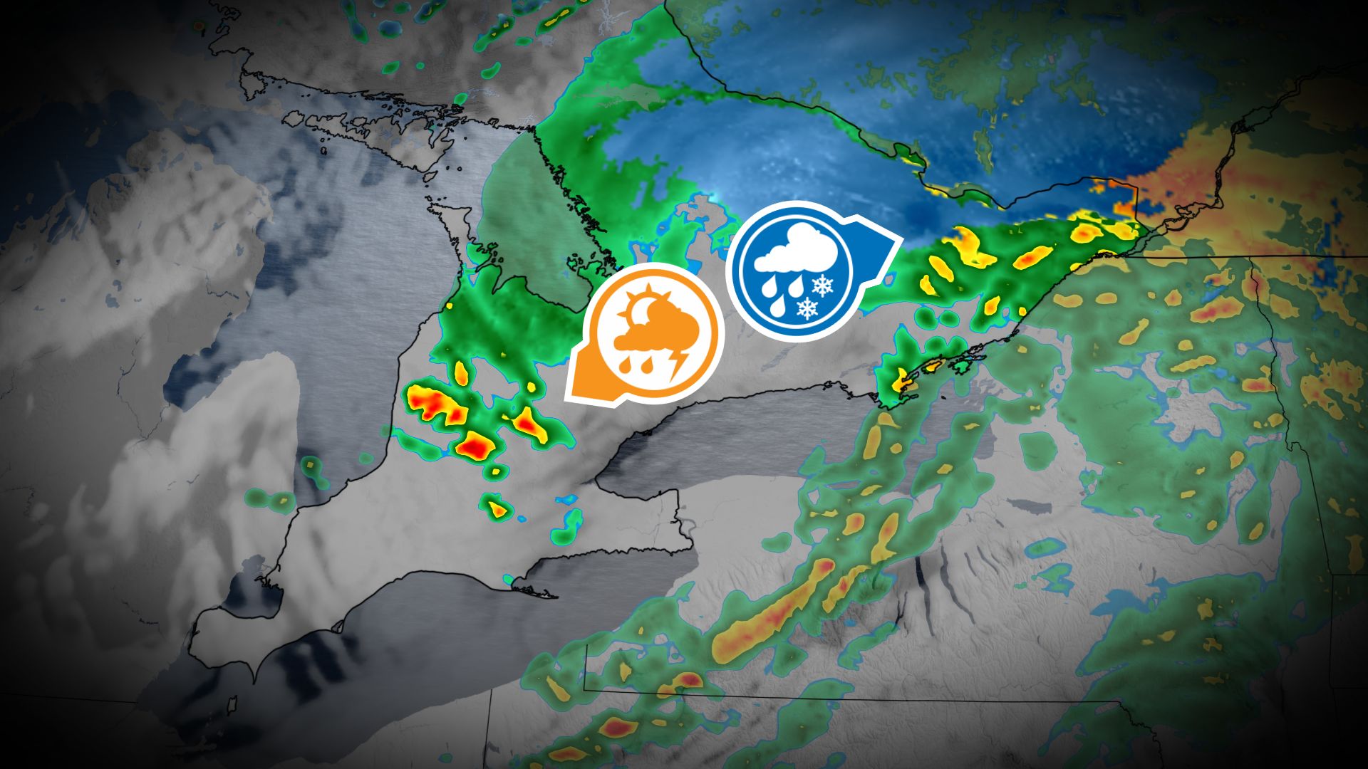
Days of rain, wind, and even some November thunderstorms
The first system arrives Wednesday, bringing light rain to the Greater Toronto Area (GTA) through the morning and afternoon. Heavier rainfall and possible thunderstorms are expected in areas near Kitchener by late afternoon and evening, accompanied by gusty winds of 60-70+ km/h, especially along Lake Huron, Lake Ontario, and Lake Erie shorelines.
Lake-effect showers could develop overnight near Barrie, with brief wet snowflakes possible in the Dundalk Highlands.

Ottawa will see rain Wednesday morning, becoming heavier by the afternoon, with a chance of wet snowflakes into the evening, though no accumulation is expected.

Closely watching for wintry weekend impacts
The second system, a fast-moving Prairie clipper, will impact the province on Friday.

