The red dots on the maps below show where people should take cover
These dramatic weather maps reveal thunderstorms are set to batter vast swathes of the UK over the coming days.
Areas stretching as far north as Aberdeenshire are anticipated to experience turbulent conditions on Friday night, although the most severe weather will hammer the Southwest of England.
The red markers on the charts below signify thunderstorms, and these blanket most of the Southwest of England and the Home Counties at 9pm on Friday.
Sections of Dorset will witness approximately 8mm of rainfall within just a few hours on Friday night, with additional downpours throughout Saturday, according to data from Metdesk.
The forecasters there, who supply Ventusky with the charts, believe flooding could be possible over the weekend, although no official warnings are currently issued for the Southwest of England at this preliminary stage, reports the Mirror.
The Met Office’s website states: “Remaining unsettled this weekend. Some brighter weather at times through Friday and Saturday, though interspersed with heavy showers. Showers becoming more isolated by Sunday. Becoming milder but remaining rather windy.”
The grim outlook is expected to persist into next week as Hurricane Melissa – presently tearing across Jamaica – will “influence UK weather,” meteorologists warn.
This will bring a new band of low pressure reaching us by Tuesday, though this is predicted to impact northern England more severely than the south. However, the initial wave of storms will arrive here at approximately 6pm, reaching peak intensity around 9pm.
Weather charts indicate Cornwall, Devon and Dorset are set to face the most severe conditions from this tempest as it moves eastward. Around 11pm, regions as far east as Buckinghamshire and Bedfordshire are expected to experience storms, though these will be less intense than those witnessed earlier in the evening.
Tuesday proved particularly sodden as well, with over 33mm of rainfall lashing parts of Stirling and Perth and Kinross in Scotland. Cumbria and other areas across the Northwest of England also endured heavy downpours on Tuesday, sparking concerns about accumulating precipitation in the days ahead.
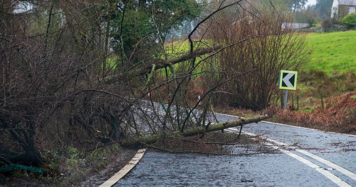
A flood warning remains active for the tidal rivers Bure, Ant and Thurne in Norfolk, for example.
Regarding the onset of November, which commences on Saturday, the Met Office states: “The changeable and at times unsettled weather is likely to continue through early November, with low pressure dominating the UK. This means further showers or longer spells of rain at times.
“All parts could see some heavy rain, but it is likely that western areas will be wettest. Strong winds are likely from time to time, with gales or severe gales a possibility. Equally there should also be some, at least brief, drier or clearer interludes, these more prevalent further east, but perhaps becoming a little more widespread and long-lasting by the end of the period.”
Get all the latest and breaking news in Yorkshire by signing up to our newsletter here.
Get all the latest and breaking news in Leeds by signing up to our newsletter here.