Yellow weather warnings for rain have been issued for the weekend for Wales and northern England, which is expected to follow a brief burst of summery heat on Friday.
Conditions are set to deteriorate sharply over the weekend, forecasters have said, with one meteorologist describing conditions as “very topsy-turvy”.
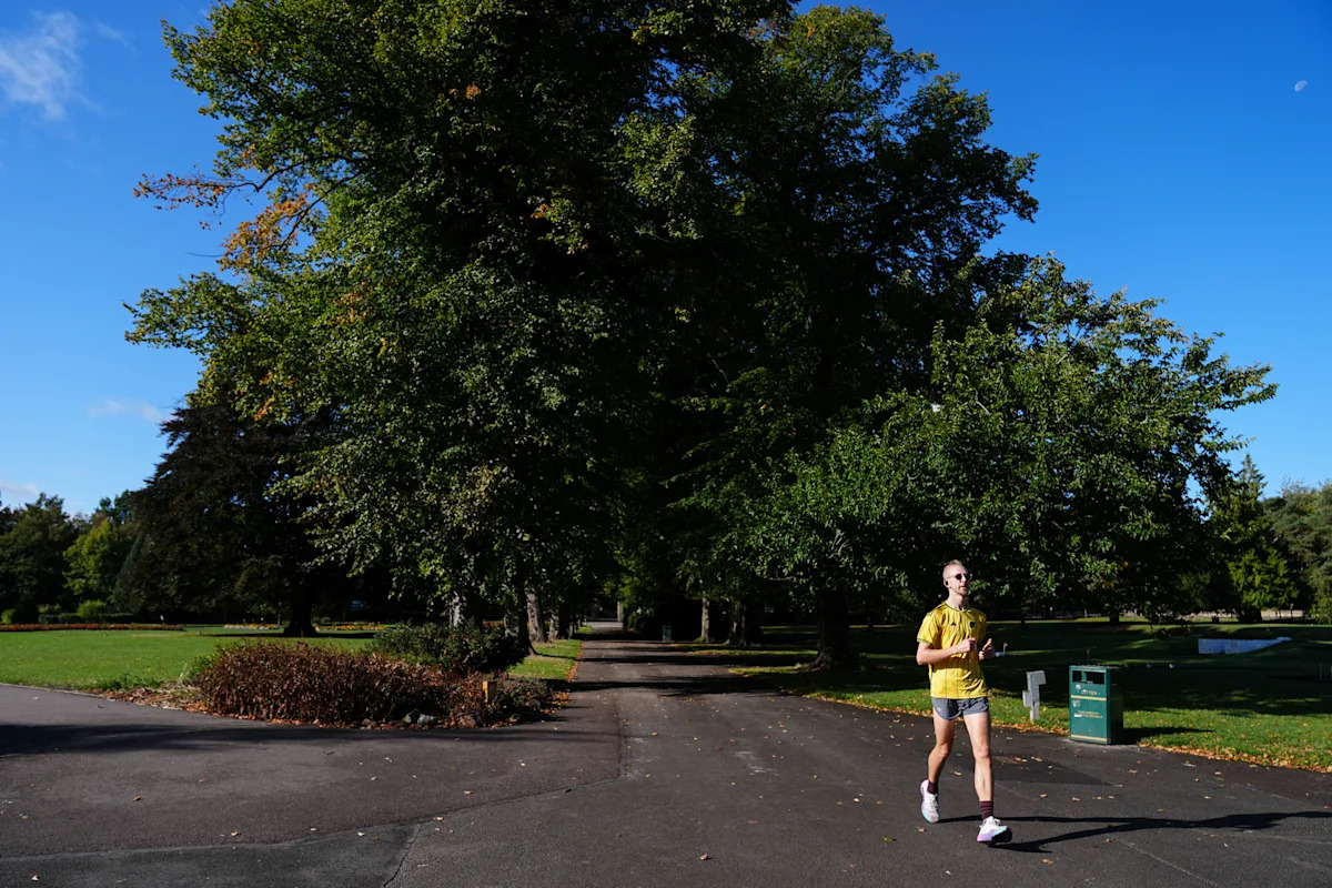
Friday is set to see temperatures in London and the South East climb to 27C – around 8C above the seasonal average.
But they are then set to turn cooler, with a sharp drop of up to 10C expected by Sunday.
Meteorologist Tom Morgan said after “summery weather” on Friday, it would turn cooler as the weekend goes on, with heavy rain in some areas.
“That area and eastern Northern Ireland could see some travel disruption and localised flooding,” he said.
“By the end of the weekend, all areas will be below average, with some parts of Scotland not reaching double figures – between 13C and 15C.”
He added that “other aspects of the weather this weekend” could include potentially strong winds, compounding the unsettled conditions.
Weather warnings are in place for parts of the country in the coming days. (Met Office)
Merseyside Fire and Rescue Service urged caution after a local alert was put in place from 9am on Saturday until 6am on Sunday.
The service said on X: “A yellow weather warning has been issued for this weekend covering all of Merseyside.
“Expect possible travel delays and disruption, with potential for flooding. Please take care, particularly when travelling.”
By Sunday, highs are expected to fall to 17C, with lows of just minus 1C in north-west England. The South East will also feel the chill, with temperatures dropping to 8C, the Met Office said.
Yahoo breaks down what the weather will be like for each region of the UK.
London and the South East
Plenty of sunshine expected as clouds break up through the morning. Remaining dry and feeling warm or very warm. Winds easing through the day. Maximum temperature 25 °C.
Changeable for Saturday and Sunday with a mixture of strong winds, outbreaks of rain, and low cloud lingering. Becoming more settled on Monday afternoon.
South West
A brighter start, though quickly becoming increasingly cloudy from the west, bringing outbreaks of light rain and drizzle at times. Winds continuing to ease. Remaining mild and feeling humid. Maximum temperature 19 °C.
Remaining changeable with showers or longer spells of rain on Saturday. Turning cooler through Sunday as showery rain clears southeast, leaving sunny spells and showers on Monday.
Midlands
West Midlands: A brighter start. though patchy cloud may bring the chance of rain or drizzle at times, mainly in the west. Elsewhere remaining dry with sunny spells. Feeling warm and humid. Maximum temperature 22 °C.
East Midlands: Patchy cloud, sunny spells and mostly dry, however a few outbreaks of rain possible across the Derbyshire Hills. Feeling warm in the sunshine. Breezy at first but winds easing later. Maximum temperature 22 °C.
West Midlands: Remaining changeable with showers or longer spells of rain on Saturday. Turning cooler through Sunday as showery rain clears southeast, leaving sunny spells and showers on Monday.
East Midlands: Changeable for Saturday and Sunday with a mixture of strong winds, outbreaks of rain, and low cloud lingering. Becoming more settled on Monday afternoon.
North East
Continuing to be unsettled throughout Friday with plenty of cloud around and outbreaks of rain. Rain likely to remain persistent and at times heavy across the Pennines. Maximum temperature 20 °C.
Changeable for Saturday and Sunday with a mixture of strong winds, outbreaks of rain, and low cloud lingering. Low cloud lifting on Monday to leave a mainly dry day.
North West
A cloudy, damp and windy start for most. Turning somewhat drier for a time in the afternoon with some brighter spells. Winds easing, but remaining warm and humid. Maximum temperature 21 °C.
Remaining changeable with scattered showers, and heavy or prolonged spells of rain on Saturday. Turning cooler through Sunday as showery rain clears southeast, leaving sunny spells and showers on Monday.
Scotland
Dry with some brightness across Edinburgh and the Lothians. Cloudier elsewhere with occasional and mostly patchy light rain. Maximum temperature 18 °C.
Cloudy with rain on Saturday, heavy at times especially in the east. Cold and windy with a few showers on Sunday. Less windy with fewer showers on Monday.
Northern Ireland
It will be largely dry with some brightness. Chance of a little rain across County Down at times. Maximum temperature 17 °C.
Cloudy on Saturday with rain likely across the east, becoming windy later. A colder day on Sunday with showers. Bright and largely dry with fewer showers on Monday.Wales
Increasingly cloudy in the west with rain and drizzle pushing north-eastwards, turning heavy at times. Some brighter and drier intervals in the east. Winds continuing to ease. Feeling humid. Maximum temperature 20 °C.
Remaining changeable with showers or longer spells of rain on Saturday. Turning cooler through Sunday as showery rain clears southeast, leaving sunny spells and showers on Monday.

