Those along the East Coast have various snow-related advisories and warnings throughout the rest of the day, the National Weather Service has stated.
Heavy snows and strong winds are to continue Feb. 23, with the potential to greatly impact the region.
Snowfall rates of 2-4 inches per hour have been observed and are predicted to continue through mid-morning.

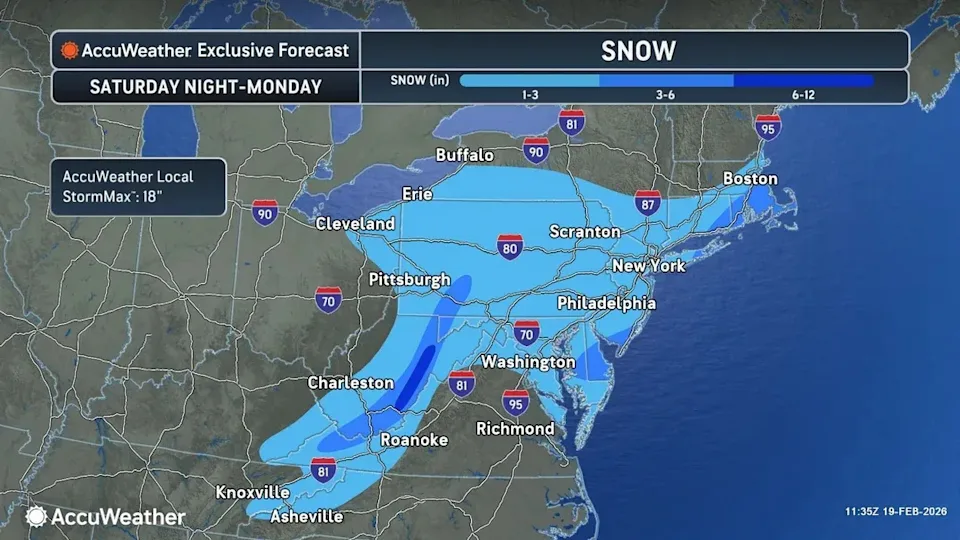
An AccuWeather map shows one weekend outcome, which would be a few inches of snow.
Read more snow coverage: How much snow are we getting in South Jersey? NJ in blizzard warning
Along the coast, wind gusts may reach up to 60 miles per hour, which could cause blowing snow and blizzard conditions. Travel is strongly discouraged, with NWS calling it treacherous and potentially life-threatening.
A coastal flood advisory is to remain active until 5 p.m. this evening, which may bring up to a foot of inundation above ground level.
Low-lying areas near shorelines have the potential to see flooding, with roads in coastal communities most at risk.
Expect to see partial or full road closures.
Residents are advised to not drive vehicles through flood waters, as the water may be deeper than it appears.
Additionally, a storm warning is to be in effect until 6 p.m. tonight, with winds up to 45 knots and gusts up to 55 knots. Seas may reach up to 15 feet.
These conditions come in conjunction with a blizzard warning, which is in effect today throughout all of South Jersey.
Risha Inaganti writes about trending topics across South Jersey for the Courier-Post. If you have a story she should tell, email her at rinaganti@usatodayco.com. Subscribe to stay up to date on the news you need.
This article originally appeared on Cherry Hill Courier-Post: Jersey Shore to see strong winds, possible flooding

