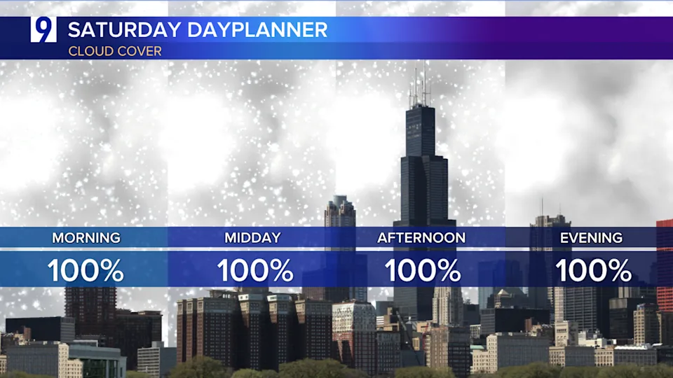
Plan accordingly and stay safe! The biggest snowfall in nearly five years is on the way.
Current modeling suggests snow could be falling in the city and the Chicago metro area between 5 to 7 a.m.; but potentially the most heavy snowfall will be in the noon to 8 p.m. timeframe, then ease to lighter more sporadic precipitation or a light mix for parts of the area, which would include some rain, drizzle or isolated wet snowflakes.


The National Weather Service has already issued Winter Storm Warnings for the majority of Chicagoland, which are set to take effect at 3 a.m. Saturday morning, lasting through 6 a.m. Sunday.
Additionally, Winter Storm Watches are also set to take effect for portions of Northwest Indiana at 3 a.m. Saturday morning, lasting through 6 a.m. Sunday.

WGN Interactive Radar: Track the weather near you
Widespread snowfall and travel impacts are expected across the region. Snowfall rates of 1” per hour is possible during the storm’s peak in the afternoon and evening. Gusty winds may lead to pockets of blowing and drifting in open areas late Saturday night and Sunday.
The bulk of the Chicago area is expected to see 6-9” total accumulation when all is said and done, a few isolated areas to the northwest of Chicago could see local 10-11” tallies.
The last time Chicago officially recorded a 6” or greater snowfall on a calendar day was on February 15, 2021, when 6.1” fell.
History has shown systems like this produce much of their initial snow with front side warm air moisture advection — in other words, the northward flood of frontside moisture into the cold air mass beneath (already in place) and ahead of the storm system’s northern flank. This can often lead to a period of vigorous and significant snowfall — but one that often ebbs and becomes a mix of drizzle and some rain as the storm system passes over the city late Saturday night.
Forecast modeling showing how snowfall is to accumulate

Dusting by 8:30 a.m.

About 1.5” to 2” by 12:30 p.m.

Roughly 3-5” by 5:30 p.m.

5-10” by midnight Saturday night

Similar totals around 7” in the city by 7 a.m. Sunday
Future Outlook tracking the advancement of precipitation at various times


Snowfall Probabilities centered over Chicago

Near 100% chance of seeing at least 4” with probabilities dropping off around 8” and higher.
NWS Key Messages on upcoming storm


Current Conditions


Next Few Hours


Extended Outlook

Copyright 2025 Nexstar Media, Inc. All rights reserved. This material may not be published, broadcast, rewritten, or redistributed.
For the latest news, weather, sports, and streaming video, head to WGN-TV.

