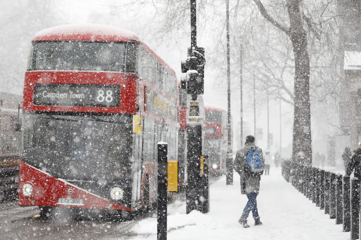
London is looking down the barrel of a massive snowstorm currently hurling towards the UK, with weather maps indicating exactly when the big blizzard will hit.

London has been put on a snow alert as massive a storm threatens the UK with snow deluge(Image: TOLGA AKMEN/AFP via Getty Images)
London could be blanketed in snow as a huge winter storm threatens to sweep across the UK, with advanced weather models predicting snowfall of nearly 70 inches in some parts of the country.
Modelling by the European Centre for Medium-Range Weather Forecasts (ECMWF) shows a major blizzard arriving on February 9, with snow expected to blanket England, Wales, Northern Ireland and Scotland, with the UK capital square in the path of this massive snow beast.
Snow is forecast to reach southern England in the early hours, with London expected to wake up to falling snow by around 6am. Birmingham, Nottingham, Manchester, Liverpool, Cardiff and Belfast are also in line for wintry conditions as the system pushes north. By midday, the snow band is predicted to stretch across most of the UK, reaching Newcastle, Edinburgh, Glasgow, Aberdeen and Dundee, according to the latest maps.
While London is not expected to see the extreme depths forecast elsewhere, parts of southern England could still see several centimetres settle, causing major travel disruption and school closures.
Snow depth charts show staggering totals over higher ground, with up to 175cm possible across the Scottish hills. South Wales could see around 20cm, while northern England and southern areas — including London — may see around 8cm. Northern Ireland could also see up to 4cm of snowfall.
Forecasting maps suggest around 90 per cent of the UK could be covered in snow by midday on February 9.
The Met Office has also warned that February could bring “wintry hazards”, with conditions prime for snow as colder air pushes south.
In its February 9 to 23 weather outlook, the national forecaster said: “With the jet stream likely further south than normal, the wettest conditions are more likely in central and southern areas. Whilst mild incursions of wet and windy weather are favoured at times in the south and west, colder conditions in the north and northeast will bring an increased risk of wintry hazards, especially where any precipitation from the southwest interacts with the cold air.”
Snow could arrive even sooner, the Met Office added. In its January 30 to February 8 forecast, it warned of heavy rain. especially in the south and west, with cold air to the northeast increasing the risk of snow — possibly extending to lower regions, including parts of southern England.
Londoners are warned to keep an eye on forecasts as the winter chill continues from January into Feburary, with experts reccomending planning ahead and preparing now for potential disruptions as the winter blast approaches.