So far, the summer has been a mix of hot temperatures followed by heavy rainfall and thunderstorms across regions in the UK.
But now, it looks like the weather could be on the rise again as the Met Office and WX Charts forecast heatwave temperatures are likely.
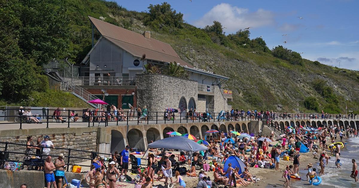
UK to see ‘spells of hot weather’ in August
Humidity and temperatures will rise as we approach Thursday 🌡️
This will help trigger some heavy showers and thunderstorms in the afternoon, particularly across southern and eastern England, and southern Scotland too 🌩️ pic.twitter.com/xmdeWab744
— Met Office (@metoffice) July 29, 2025
Reports from WX Charts show that temperatures could peak to 31°C on Wednesday, August 6 and Thursday, August 7, across the south west and the south east.
Elsewhere, Wales could see similar warm weather with temperatures between 26°C and 27°C.
However, Scotland and Northern Ireland will have to wait a little longer for warmer weather as the Met Office shares that “rain and showers” are likely for the regions.
The Met Office’s long-range weather forecast from Saturday, August 2 to Monday, August 11 adds: “Perhaps turning widely settled later into August, where high pressure to the southwest extends more bodily across the country.
“Temperatures around or a little above normal, perhaps warming further up later in the month.”
The end of August is also predicted to remain hot with a potential for a heatwave, as the Met Office shares:
“High pressure, and therefore more settled conditions overall, appear most likely for the second half of August.
Recommended Reading
“There may still be some rain and cloud clipping the west or northwest at times.
“For most, dry weather is likely to continue, although short periods of showers and thunderstorms cannot be ruled out.
“Temperatures are most likely to be around to above average, with a near normal chance of brief spells of hot weather.”