More than half of U.S. is now included in mapping tool for flood forecasts. Here’s what to know.
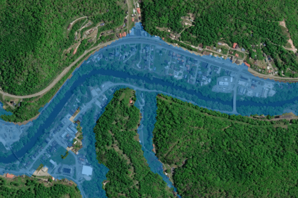
A mapping tool that aims to provide forecasters and communities with flooding information has expanded to cover 60% of the U.S. population, the National Weather Service announced Thursday. With this development, the experimental tool promises to serve twice as many Americans as it did before. The Flood Inundation Mapping, or FIM, tool is designed to…


