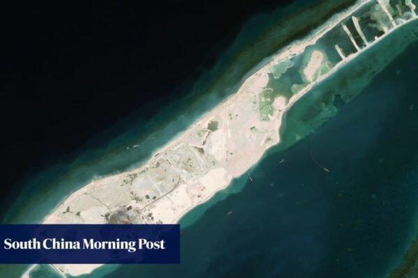
South China Sea: Beijing resources ministry gauges depth of new Vietnamese port on reef
The research combines laser measurements from Nasa’s ICESat-2 satellite with optical data from the European Union’s Sentinel-2 to map underwater changes with unprecedented precision. The team’s peer-reviewed paper was published in the Chinese-language Journal of Tropical Oceanography on February 13. Barque Canada Reef is the largest landform in the Spratly Islands, an archipelago in the…

