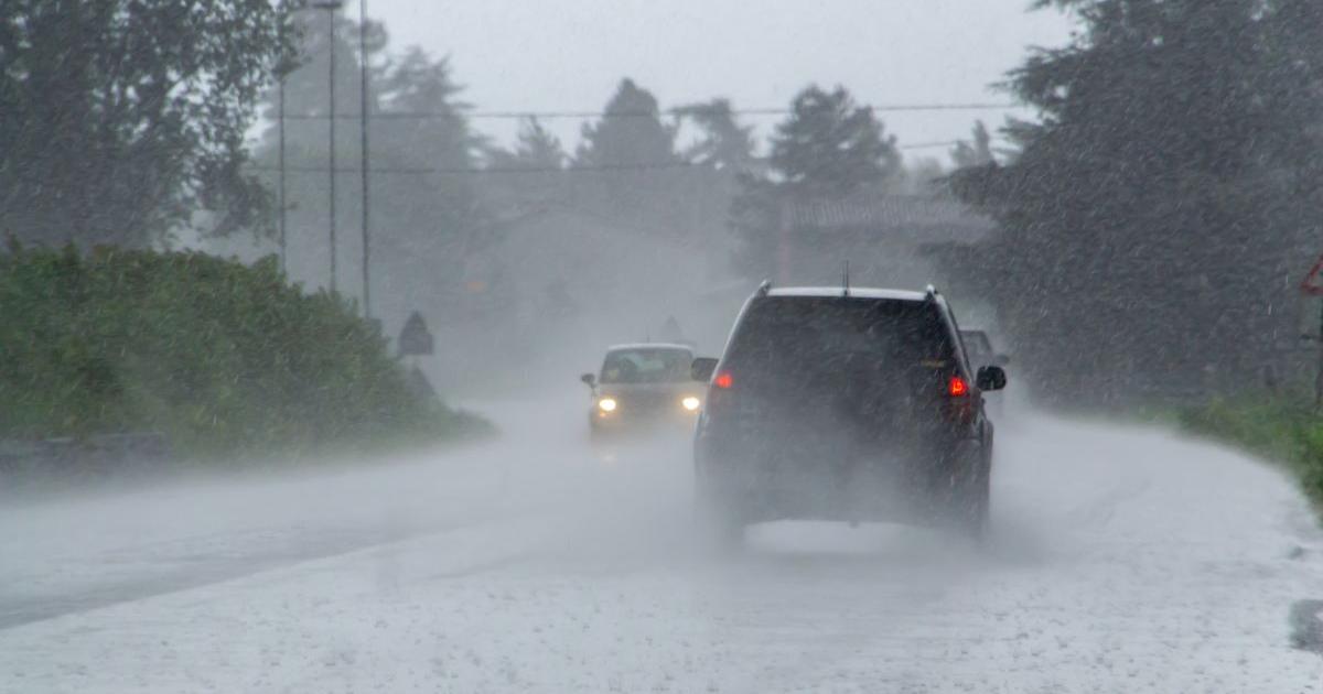
Storm Benjamin, named by Meteo France, has forced the Met Office to issue three yellow weather warnings over possible disruption, flooding, power cuts and damage to buildings in a number of areas throughout the day.
A yellow weather warning for rain covering most of southern England, the East Midlands, parts of Wales and Yorkshire will be in place until 6pm and 9pm, depending on the location.
Those within the affected regions were warned by the forecaster to expect heavy rainfall from Wednesday (October 22) evening, with up to 50mm in some areas by early Thursday.
What different Met Office weather warnings mean
Meanwhile, a separate warning for wind is in place from 9am until 11.59pm, covering the east of England from Brighton up to Scarborough.
For the majority of the yellow alert area, gusts of up to 55mph are expected, with 65mph possible near coasts, the Met Office confirmed.
Another yellow alert for wind on Thursday covers south-west England and parts of Wales, including Somerset, Devon, Cornwall, Swansea and Pembrokeshire.
Gusts of up to 45mph are expected widely within this area, while winds of up to 60mph could be reached along exposed coasts and headlands, the forecaster shared.
However, the predicted wet and windy conditions have not yet earned the storm an official name from the Met Office.

Met Office map shows all UK areas hit by Storm Benjamin on Thursday
On X, the official Met Office account shared a map of when Storm Benjamin first hit the UK, which was around 4pm on Wednesday, towards the south-west coast of England.
In a post, the forecaster said: “Here’s the latest showing the development of Storm Benjamin as it tracks closer to the southwest of the UK.”
Take a look at the hour-by-hour weather forecast map below to track the weather conditions where you are:
Here’s the latest showing the development of Storm Benjamin as it tracks closer to the southwest of the UK 👇 pic.twitter.com/TiWmNLc52o
— Met Office (@metoffice) October 22, 2025
By the early hours of Thursday, the storm will have moved north-eastwards across the UK and reached most of England and Wales, and parts of eastern Scotland.
Recommended reading:
Chief meteorologist Rebekah Hicks commented: “It is worth noting that there is a greater than usual uncertainty surrounding the track and intensity of this low-pressure system,
“The public should stay up to date with the latest forecasts and warnings as the situation evolves, with adjustments to the forecasts likely at short notice.”
Keep an eye on the weather forecast where you are by visiting the Met Office website.