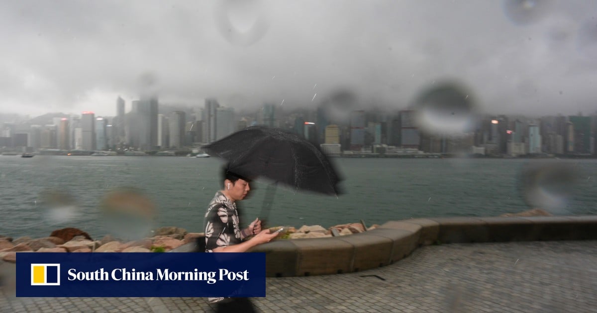
Tropical Storm Ragasa is expected to bring hurricane-force winds reaching 210km/h (130mph) to Hong Kong on Wednesday, exceeding the maximum speeds seen when Super Typhoon Hato hit the city in 2017.
The Hong Kong Observatory’s latest update on the approaching storm, which is expected to intensify into a super typhoon, came as it also issued an amber rainstorm warning at 9.10am on Sunday, with the city experiencing the remnants of Tropical Storm Mitag.
The forecaster said that Ragasa – named after a Filipino word meaning rapid or fast motion – would move towards the vicinity of the Luzon Strait and continue to intensify over the next two days before edging closer to the coast of Guangdong on Tuesday.
“The weather will deteriorate later on Tuesday,” it said. “Gale to storm force winds will prevail on Wednesday, and winds may reach hurricane force offshore and on high ground.”
Hurricane-force winds refer to those which maintain a speed of at least 118 km/h. The Observatory will raise its highest No 10 typhoon signal when hurricane-force winds are expected to affect the city.


